this post was submitted on 08 Dec 2024
334 points (98.8% liked)
Map Enthusiasts
3606 readers
29 users here now
For the map enthused!
Rules:
-
post relevant content: interesting, informative, and/or pretty maps
-
be nice
founded 2 years ago
MODERATORS
you are viewing a single comment's thread
view the rest of the comments
view the rest of the comments

Really interesting!
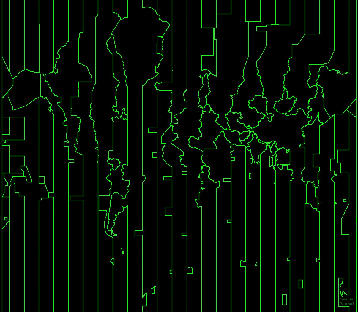
I did a bit more searching and found This article, where the author intentionally used EEZ boundaries to make a time zone map that incorporates sovereignty.
He stated that currently Maritime time zones are randomly drawn straight lines on a map, that aren't representative of the country that's forcing change.
I mean, they're not random. They're regularly spaced such that there are 24 each at 15 degree increments, such that the Prime Meridian runs through the centre of one zone, and the idealised form of the International Date Line runs through the centre of the opposite one (and then also the one through which the IDL runs gets split in 2).
But thanks for the link, that was a really interesting read!
Perhaps random was the wrong choice of words. The construction of the theoretical time zones is completely non-random. Some of the country specific changes seem to be though.
I was thinking of the time zone carveouts that wrap around some islands - like Kiribati, where the IDL swings around it with giant straight lines that don't resemble it's EEZ. How were they decided? I can't seem to find anything on it.
Seems though, for most international ocean travel, it doesn't matter (per your excellent links- thankyou). Ships just use an idealized date line at 180 until they hit an EEZ and will use that if they need to communicate with that country.